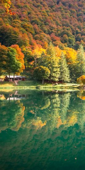
 Autumn getaways in the Pyrenees
 Living traditions
 Hydrotherapy
 The must-see sites
 Gourmet and local know-how
 The Couserans through the seasons
 The Blog… inspirations throughout the seasons
 Holiday ideas
 Our CSR approach
 Hiking in the Couserans
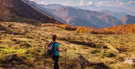 Current hikes
 Thrills & Spills
 Sports activities
 Equestrian activities
 Guzet station
 Trail running in Couserans
 Cycling and mountain biking
 Where to stay?
 Where to eat?
 GOING OUT IN TROUVILLE-SUR-MER
 What to do there?
 Tell us about your visit to Ariège
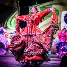 Tickets
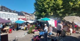
 Local markets
 The events calendar
 Major events
 The local Anims
 Sport events
 Art & Culture
 Add your event

A sporty hike to explore a small, wild valley and enjoy the exceptional views offered by Bagert and its hamlets facing the Pyrenees mountain range.
Possibility of picnicking near the orientation table.
Working Languages
- French
Ranking & labels
- MTB label - FFC
Directions
In detail
- Distance: 6.4 km
- Positive elevation: 260 m
- Route type: loop
- Marking precision: Official FFC markings - Loop No. 5
- Type of land: Earth
- Type of land: Hard surface (tar, cement, floor)


