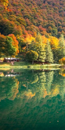
 Autumn getaways in the Pyrenees
 Living traditions
 Hydrotherapy
 The must-see sites
 Gourmet and local know-how
 The Couserans through the seasons
 The Blog… inspirations throughout the seasons
 Holiday ideas
 Our CSR approach
 Hiking in the Couserans
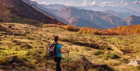 Current hikes
 Thrills & Spills
 Sports activities
 Equestrian activities
 Guzet station
 Trail running in Couserans
 Cycling and mountain biking
 Where to stay?
 Where to eat?
 GOING OUT IN TROUVILLE-SUR-MER
 What to do there?
 Tell us about your visit to Ariège
 Tickets
 Local markets
 The events calendar
 Major events
 The local Anims
 Sport events

This beautiful beginner's trail begins with a climb on the road, leading into the heart of the Royal Forest of Volvestre. You will then pass through sunny open spaces and a few hamlets before descending to Sainte-Croix-Volvestre.
Working Languages
- French
Ranking & labels
- MTB label - FFC
Directions
In detail
- Distance: 13.5 km
- Positive elevation: 200 m
- Daily duration: 01h15
- Route type: loop
- Marking precision: FFC mountain bike markings
- Type of land: Earth
- Type of land: Hard surface (tar, cement, floor)
Equipments & services
Equipment
- Shaded Picnic area.
- Bar
- Parking
- Charging stations for electric vehicles
Services
- Supervised beach
The provider offers you

Restaurant The Octopus of the Lake
Sainte-Croix-Volvestre


5
Sainte-Croix-Volvestre lake
Sainte-Croix-Volvestre


3
The Royal Forest
Sainte-Croix-Volvestre


