Local and gastronomic know-how
  Living traditions
  Thermalism
  Must-see sights
  In the heart of the Ariège Pyrenees Regional Nature Park
  Hiking in the Couserans
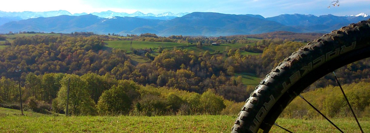
  Cycling and mountain biking
  Hikes for little legs
  Thrills
  We have plenty of good runs in Guzet !
  Swimming spots
  The Couserans Trail-Biking Area
  Winter resorts and activities
  Where to sleep ?
  Where to eat ?
  To do ?
This mountain bike route is marked from start to finish. It will lead from one valley to the other, with breath-taking views of the Pyrenees all along the way.
It connects the foothill routes (approved and set up by the french federation VTT-FFC), and has technical single track paths, wider tracks, as well as parts on the road. There are also accomodation possibilities along the route.es, des pistes charretières ou des portions plus roulantes. Hébergements disponibles sur le parcours.
The loop
- Average duration : 2-3 jours
- Distance : 116.73 km
- Maximum altitude: 693 m
- Minimum altitude: 297 m
- Total positive elevation : 3429 m