Going hiking ? The best way to prepare yourself is to be well informed! Come and meet us at our various information points for personalised advice, to adapt tomorrow’s hike according to the previous day’s weather, to check the state of the trail and to assess your level of fitness.
Going hiking ? Here are some good practices to adopt !
« In the mountains, whether for a simple walk or for a more athletic hike, you must be thoroughly prepared ».
Anthony
If possible, come and meet us at our various information points for personalised advice, to adapt tomorrow’s hike according to the previous day’s weather, to check the state of the trail and to assess your level of fitness.
Equipment
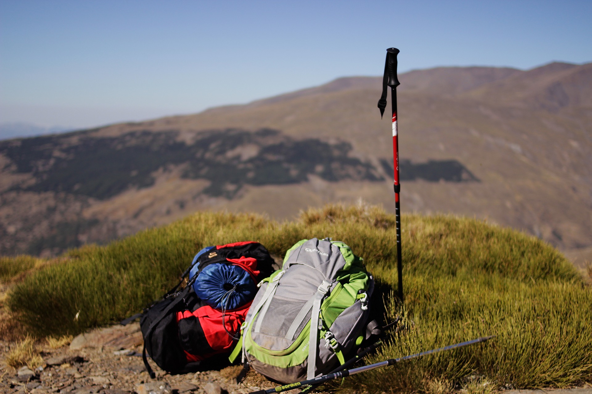
- Head off with hiking shoes on your feet, with high boots if possible in order to protect your ankles while descending
- Your backpack is the other must-have: it must contain, at least a sufficient amount of water (and/or micropur tablets if heading off for a longer period of time), food (even on a short walk), a small first aid kit, a waterproof jacket (even if it’s sunny when you set off), a cap and sun cream, a telephone and a topographic or hiking map (see the list below).
- If you’ll be walking for a long time, or are physically disabled, poles can be very useful : this accessory is recommended for all hikers with snowshoes, and all the above advice is doubly important in winter.
Trail marking
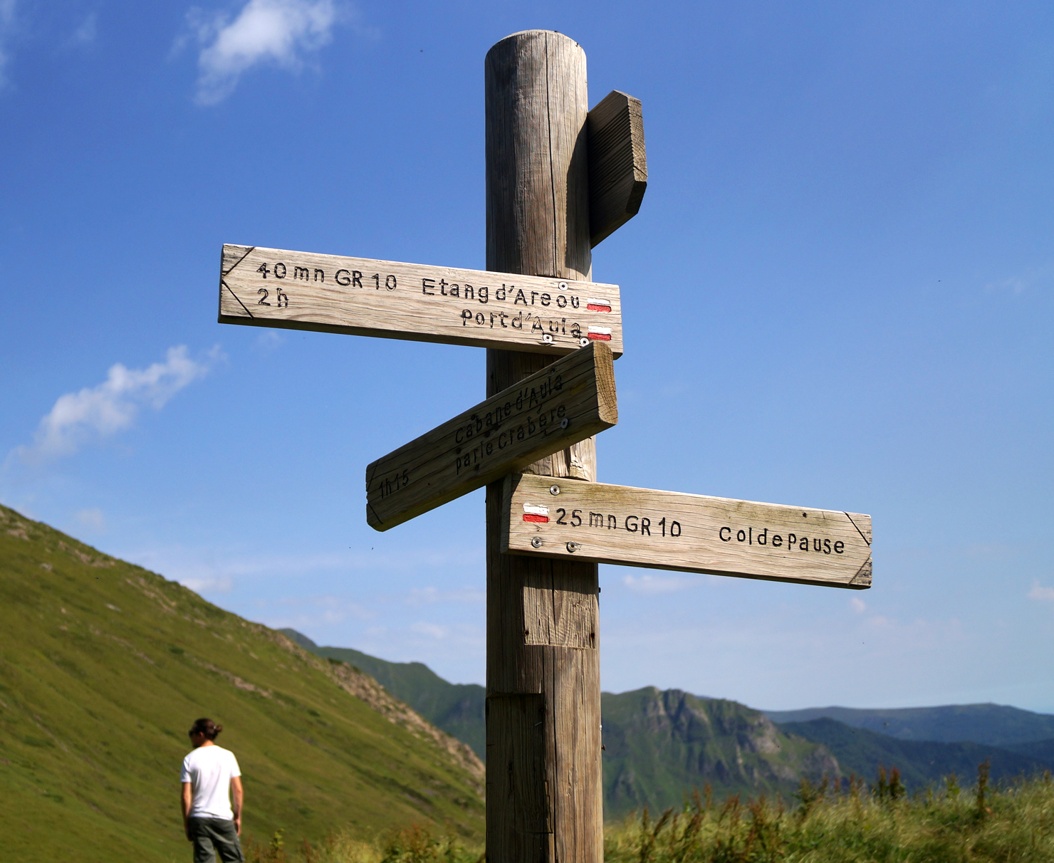
The marking of major routes (GR10 and cross-border GR) has priority over all other markings. Furthermore, a walk may use three categories of marking on all or part of its route :
- White and red : GR10 or cross-border long distance hiking trail ;
- Yellow and red : regional long-distance trail (Tour du val de Garbet or Tour du Biros GRP).
- Yellow : short-distance trail (PR).
Trail maintenance
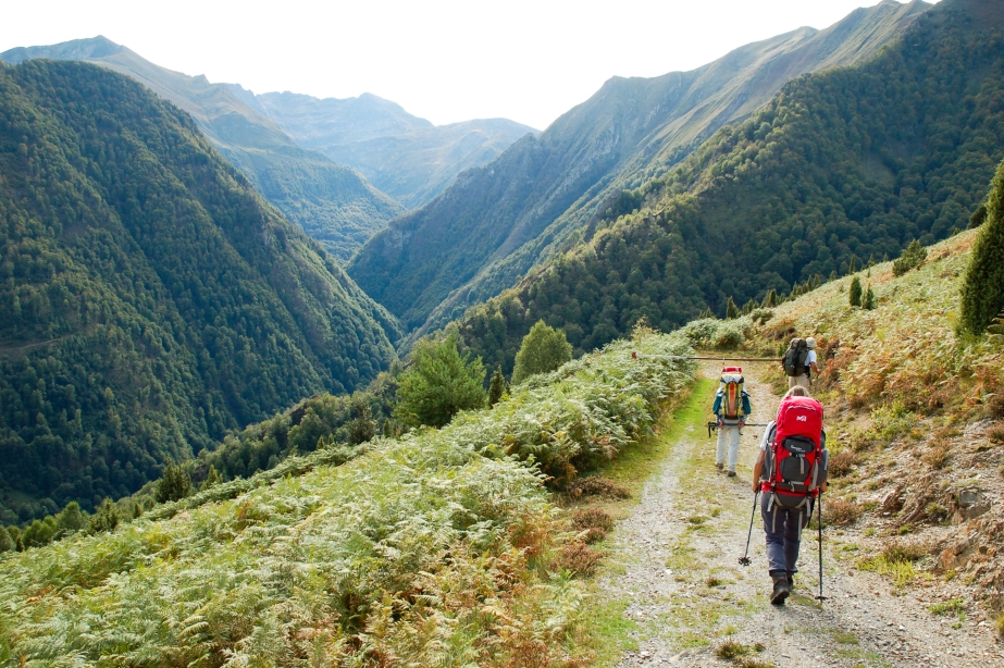
The Couserans has more than 1,400 km of paths, maintained by the Couserans Pyrenees Community of Communes. Despite their best efforts, there may be some things to watch out for : fallen trees, overgrown brush, collapsed low wall, etc. For efficient reporting, please use the Suricate platform : it is fast and will alert all local actors of the problems right away.
Dogs on a leash
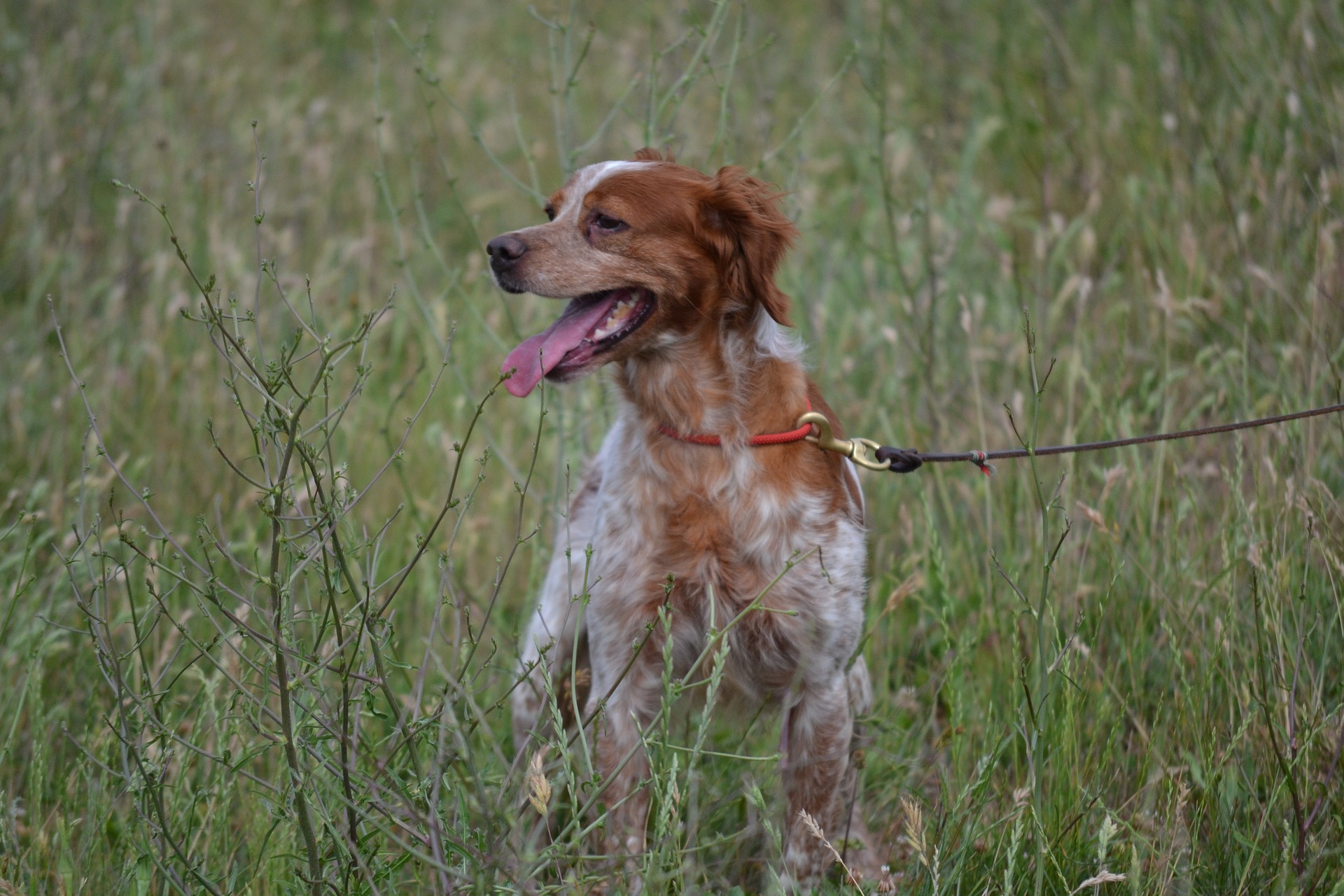
Dogs are allowed everywhere in Couserans. However, herds and wild animals are present in the mountains : please keep your dog on a leash.
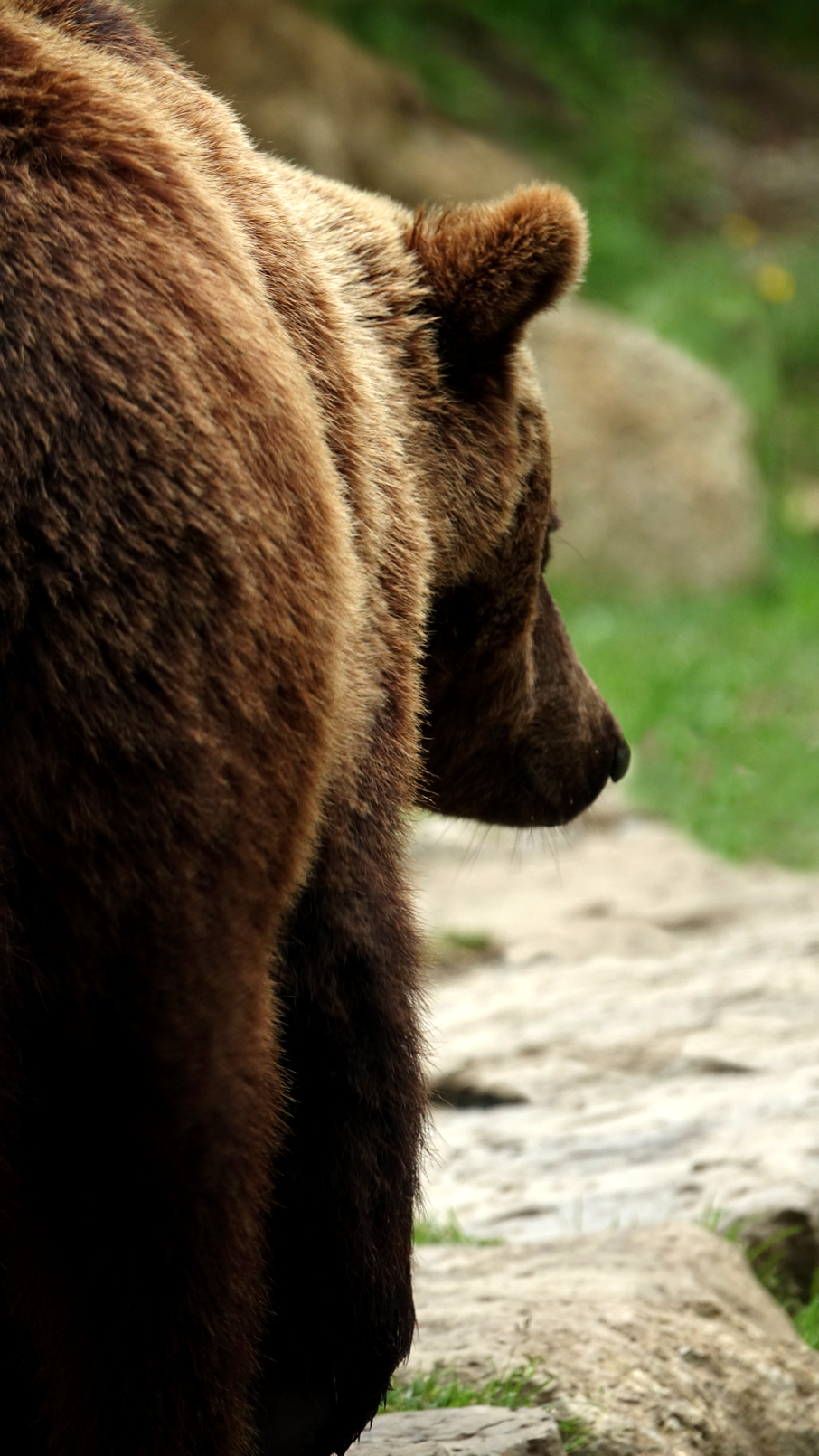
Presence of brown bears
In case of an encounter, very unlikely but possible, what should you do ? Find recommendations from the Bear technical team here (Occitanie region prefecture) :
If you encounter a bear at close range (less than 50 m), help it identify you :
➟ calmly show yourself by letting the bear see you, moving around and talking
➟ gradually move away from the path he might take in his flight
➟ don’t run
The bear may stand up on its hind legs : this is not a sign of aggression. It is curious ; it is trying to recognise your smell and better identify you.
If you have any comments, we’d love to hear from you. Please contact :
Équipe Technique Ours (Bear Technical Team)
Tél : 05 62 00 81 08
Mail »
Recommendations
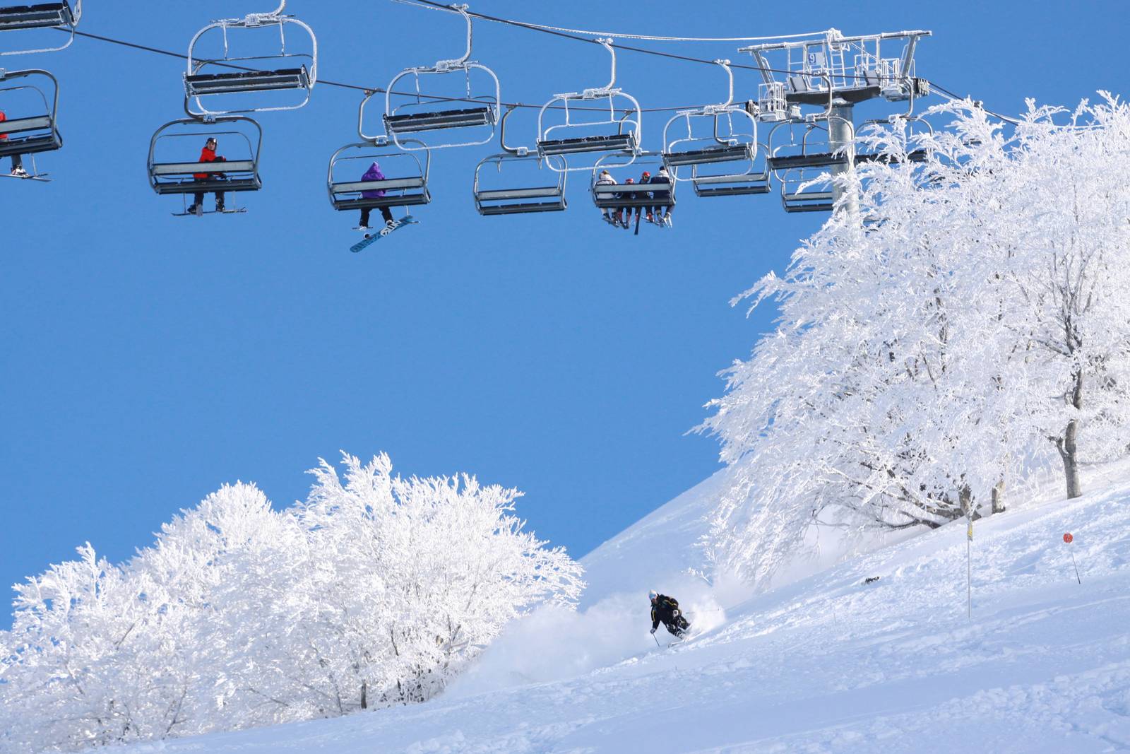
for the winter season
Verify snow and weather conditions before setting off on a hike, on snowshoes or on cross-country skis, etc. You may not necessarily be able to snowshoe on all the same trails you found so beautiful in the summer : avalanche paths have been observed and may prevent certain routes.
In winter more than ever, remember to be humble and careful : come and ask for advice from us in the tourist offices to discover the best choices of hikes on the day, check the weather forecast and route information, and why not even set off with a mountain guide for your « first time » !
Weather
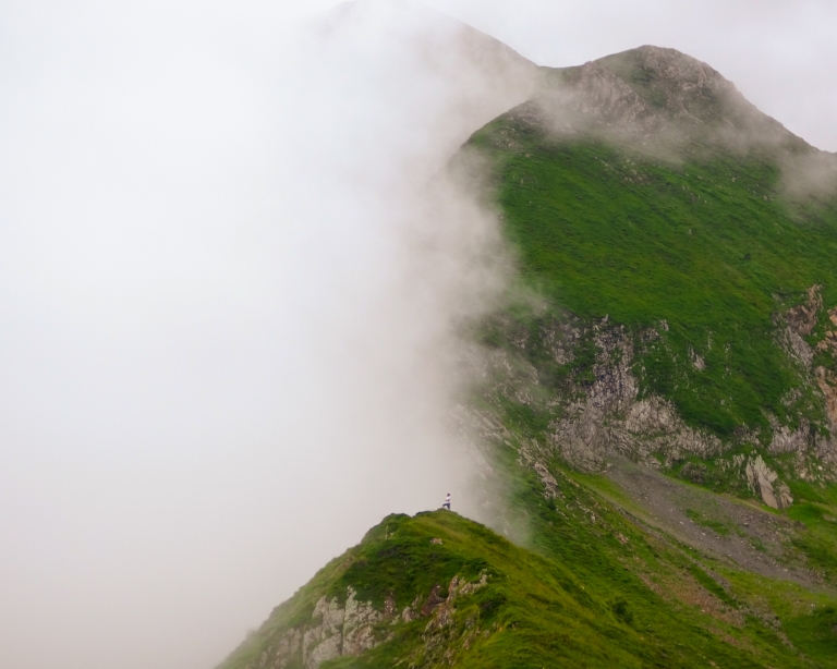
The weather changes very quickly in the mountains !
Consult the local Météo France weather server at 08 99 71 02 99, download a reliable weather app, or find the local mountain forecast posted in the various tourist office reception areas.
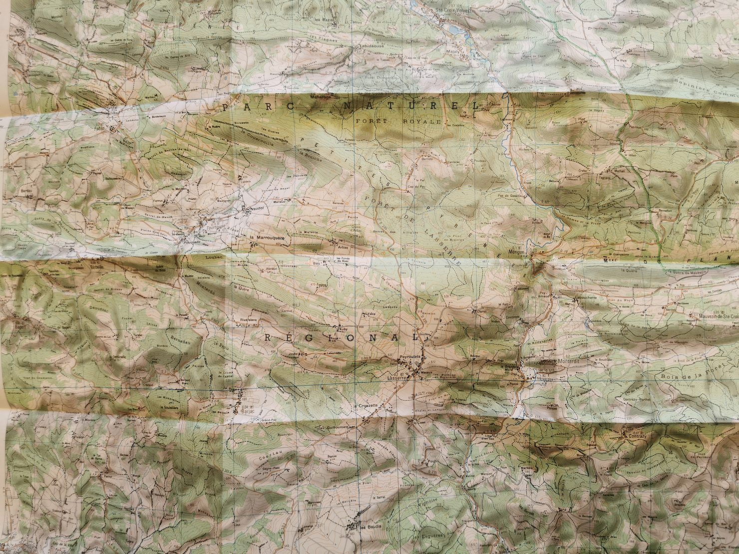
Topographic maps
- the IGN Top 25 No 2048 OT map (Aulus les bains/Mont Valier) covers most of the mountain area.
- the IGN Top 25 No 2148 OT map (Vicdessos/Pique d’Estats, Pic de Montcalm) covers the area east of Aulus les Bains.
- the IGN Top 25 No 2047 ET map (Massat/Pic des Trois Seigneurs, Ariège Pyrenees Regional Nature Park) covers the entire region from Massatois to Séronais.
- the IGN Top 25 No 2047 OT (Saint-Girons/Couserans) and the IGN Top 25 No 2046 O maps (Sainte Croix Volvestre) cover the area of the Couserannais piedmont.l
On site in our welcome offices, we sell locally designed guidebooks, topographic maps and specific information sheets for each walk or hike.

Access
Consult the Inforoutes09 site to check the state of the roads in Ariège at any given time.
 Local and gastronomic know-how
  Living traditions
  Thermalism
  Must-see sights
  In the heart of the Ariège Pyrenees Regional Nature Park
  Hiking in the Couserans
  Cycling and mountain biking
  Hikes for little legs
  Thrills
  We have plenty of good runs in Guzet !
  Swimming spots
  The Couserans Trail Area
  Winter resorts and activities
  Where to sleep ?
  Where to eat ?
  To do ?